Machine Learning Mound Mapping
Machine Learning Mound Mapping
-June 2024 update: Expanding coverage to entire USA -February 2024 update: -Arkansas mounds identified
Click to try the demo: https://yurigushiken.com/moundmapperdemo/
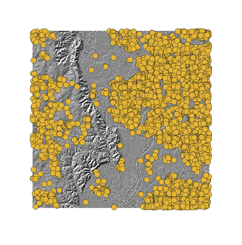
Problem: The origins
This project is designed to serve as a tool for researchers, hobbyists, urban/rural planners, and community members, marking the location of each mound in the USA. It aims to raise awareness of the mound problem, while aiding in research in the study of their origin. This tool allows researchers to: Study mounds from new perspectives Perform statistical analysis on data Use mounds data in various spatial formats Use mounds data in various software